

What is UTM? Understanding UAS Traffic Management
UAS Traffic Management (UTM), also called Unmanned Aircraft System Traffic Management, is the FAA's framework for coordinating multiple drone operations safely at low altitudes-particularly where traditional air traffic control services are not provided.
The FAA describes UTM as "a cooperative ecosystem where drone operators, service providers, and the FAA determine and communicate real-time airspace status" to enable multiple beyond visual line of sight (BVLOS) drone operations.
UTM is distinct from command and control (C2). C2 is the dedicated link an operator uses to fly and direct a single aircraft; UTM is the coordination layer that keeps many separate operations safely deconflicted across shared airspace. The two are complementary: an operator flies its drone over its own C2 link while UTM communicates real-time airspace status to every operator at once.
Key Characteristics of UTM
- Separate from but complementary to traditional air traffic control
- Automation-first: Coordination happens through APIs, not voice communications
- Distributed responsibility: Operators and service providers coordinate operations, with FAA establishing rules
- Real-time constraints: FAA provides real-time airspace constraints that operators must follow
UTM Today: What's Already Operational
UTM is not a future concept-parts of it are live and in use daily across the United States. The two most critical operational components are LAANC and Remote ID.
LAANC: Low Altitude Authorization and Notification Capability
LAANC is the FAA's automated system for airspace authorizations in controlled airspace, available at 726+ airports nationwide.
What LAANC Provides
- Automated authorization for operations under 400 feet in controlled airspace
- Near real-time approvals (often within seconds to minutes)
- Visibility to air traffic professionals about drone operations
- Automated checking against UAS Facility Maps, Special Use Airspace, airports, TFRs, and NOTAMs
How LAANC Works
- Pilot submits request through an FAA-approved UAS Service Supplier (USS) app
- Request is automatically checked against multiple FAA data sources
- If within approved altitudes, authorization is granted in near real-time
- Operations above designated ceilings require "further coordination" (manual review by Air Traffic Manager)
LAANC Availability
- Available to both Part 107 commercial pilots and recreational flyers
- Requests can be submitted up to 90 days in advance
- Further coordination requests typically require 72+ hours advance notice
- Available through FAA-approved USS providers via mobile apps and desktop tools
Remote ID: The Digital License Plate for Drones
Remote ID is the FAA's identification and location broadcast requirement for drones, mandatory since September 16, 2023, for most registered drones.
What Remote ID Broadcasts
- Drone identification (unique serial number or session ID)
- Real-time location (latitude, longitude, altitude)
- Control station location (takeoff point or pilot location)
- Velocity and altitude information
Why Remote ID Matters
The FAA emphasizes that Remote ID "lays the foundation of the safety and security groundwork needed for more complex drone operations" and helps law enforcement and federal agencies "locate the control station when a drone appears to be flying in an unsafe manner."
Remote ID Compliance Options
- Standard Remote ID drone (built-in broadcast capability)
- Remote ID broadcast module (retrofit device, requires visual line of sight)
- FAA-Recognized Identification Area (FRIA) - specific geographic areas where non-Remote ID drones can fly
How UTM Actually Works: The Four-Step Process
Understanding UTM means understanding the operational workflow:
1. Plan the Operation
Define flight parameters, including route, altitude, timing, aircraft details, and contingency procedures.
2. Check Constraints and Obtain Authorization
- In controlled airspace: Use LAANC for automated authorization
- Check for TFRs, NOTAMs, Special Use Airspace
- Verify compliance with UAS Facility Maps
3. Coordinate Through Service Suppliers
- Operators use UAS Service Supplier (USS) tools
- USS tools exchange information through automated APIs
- Real-time data sharing enables coordination between operators
4. Maintain Situational Awareness
- Monitor real-time constraints from FAA
- Manage conflicts with other operations
- Ensure safe separation and conformance monitoring
UTM and BVLOS: The Critical Connection
Beyond Visual Line of Sight (BVLOS) operations are where UTM becomes essential rather than optional.
Current BVLOS Regulatory Status (February 2026)
The FAA's landmark Part 108 BVLOS rulemaking is in final development:
- NPRM published: August 7, 2025
- Initial comment period closed: October 6, 2025 (received 3,000+ comments)
- Comment period reopened: January 28, 2026
- Focused comment deadline: February 11, 2026 (focused on electronic conspicuity and right-of-way)
- Expected final rule: Spring 2026
- Implementation: Estimated late 2026 to early 2027
What Part 108 Means for UTM
The proposed Part 108 rule is designed to work hand-in-hand with UTM by:
- Replacing case-by-case waivers with standardized operational approvals
- Establishing performance-based requirements for BVLOS operations
- Mandating integration with UTM service providers
- Requiring detect-and-avoid capabilities and continuous position tracking
- Creating operational area approvals instead of per-flight authorizations
The FAA's UTM Concept of Operations describes UTM as supporting "operations below 400 feet AGL, while addressing increasingly complex operations across controlled and uncontrolled airspace."
Key Takeaways
✓ UTM is operational today through LAANC and Remote ID, not a future concept
✓ Automation-first coordination via APIs is fundamental to UTM's architecture
✓ BVLOS operations require UTM for safe coordination at scale
✓ Part 108 final rule expected spring 2026, transforming BVLOS operations
✓ 726+ airports support LAANC for near real-time airspace authorization
✓ Remote ID is mandatory since September 16, 2023, for most registered drones
✓ USS providers deliver UTM services to operators through apps and tools
SkyTrade Airspace Operations Console - Sample Views
The following screenshots show the SkyTrade airspace operations console in action, demonstrating how municipalities and UAS Service Suppliers can manage low-altitude operations, route planning, and authorization workflows through a unified platform.
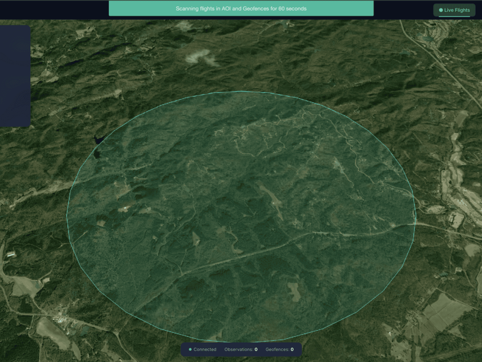
Airspace Overview
Unified airspace view showing active UAS operations, traffic density, and real-time status across the jurisdiction.
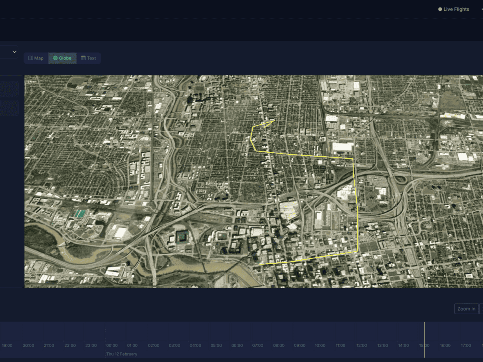
Flight Route Management
Define, manage, and monitor approved drone flight paths with automated scheduling and conflict detection for routine operations.
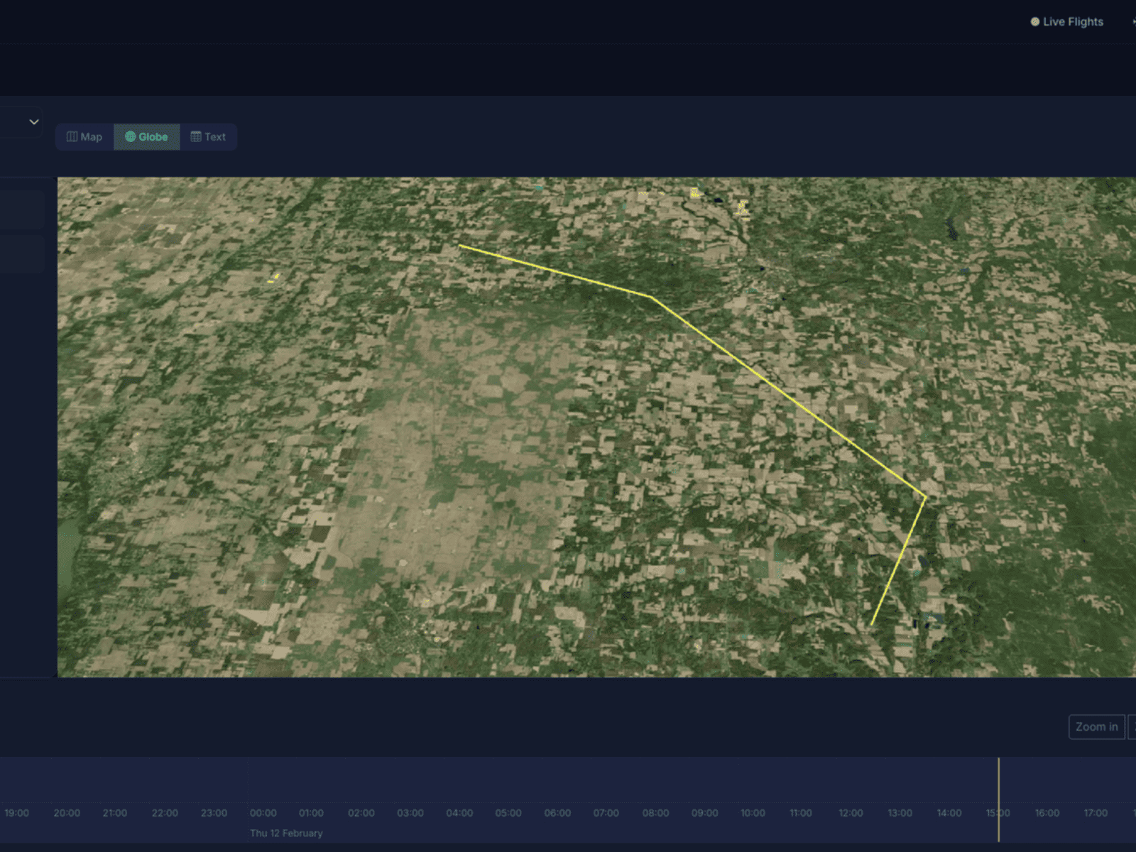
Airspace Authorization
Streamlined authorization workflows with LAANC integration, enabling near real-time approvals for controlled airspace access.
Related reading: Routine Drone Flight Programs - how cities manage repeated flights transparently and predictably.